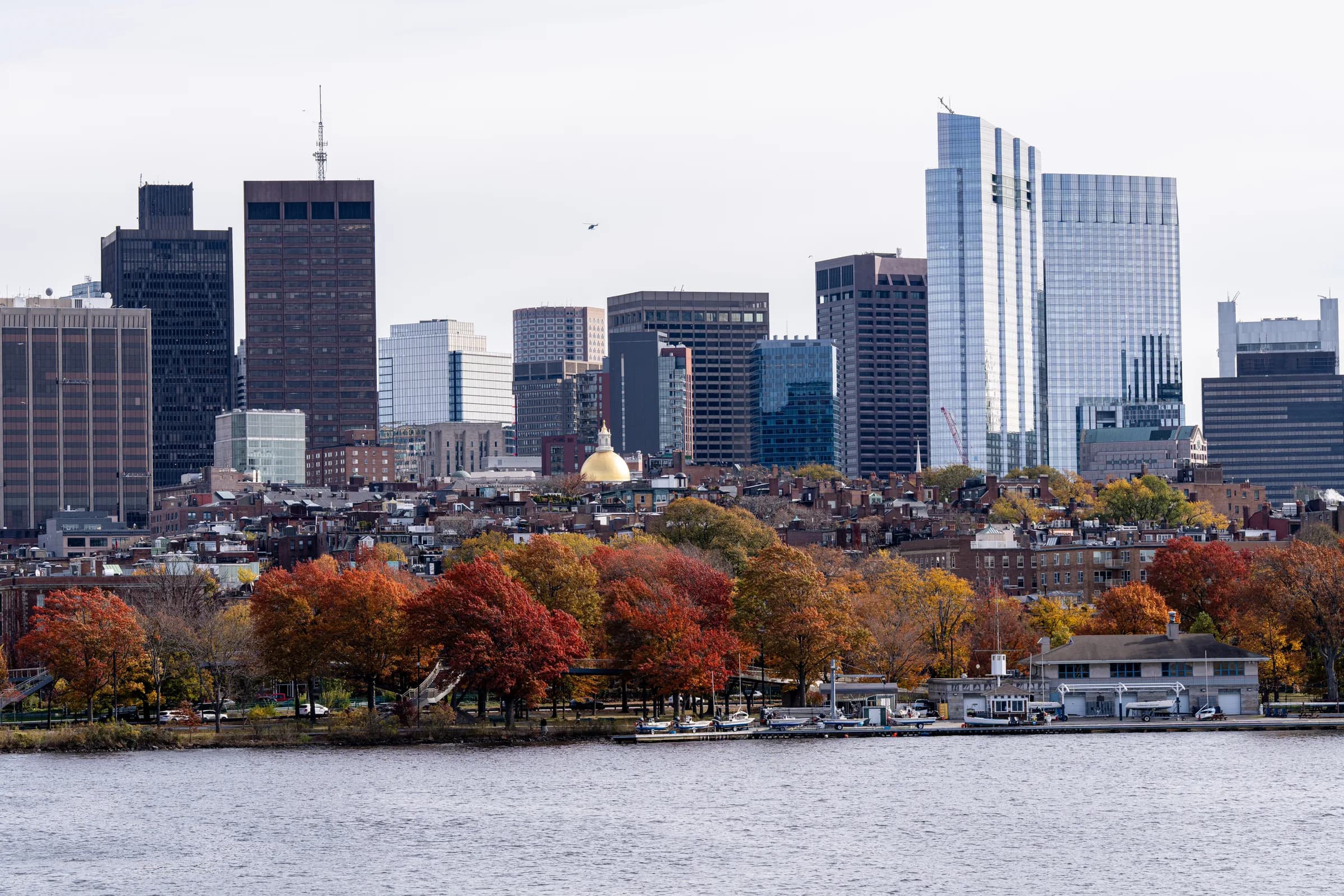
Boston does not want you to drive, and says so with its street plan. The core is walkable in an afternoon, the T handles the longer hops, and the airport sits across the harbour close enough to see. The decisions are the base and the direction of the day trip, and this page makes them.
Where to stay: compact, so choose by evening
| Area | T | Best for | Watch out for |
|---|---|---|---|
| Back Bay | Copley, Back Bay (Green/Orange) | First visits — Newbury Street, the library, the Common on foot | Pricier hotels |
| Beacon Hill / Downtown | Park Street, Government Center | The Freedom Trail at the door, the Common | Quiet after dark downtown |
| North End / Waterfront | Haymarket, Aquarium (Blue) | Italian dinners, the harbour, the Blue Line to Logan | Narrow streets, fewer hotels |
| Seaport | Silver Line | Newer hotels, the ICA, harbour views | A bus line, not a subway |
| Cambridge | Harvard, Kendall (Red) | The universities, a quieter base | Across the river from the trail |
Subway: Every area above is a short walk from a station; Back Bay and Downtown are the two that make the whole city walkable from the hotel door
Price: $200–400 in Back Bay and Downtown, $150–300 in Cambridge and the Seaport (our band)
For a first visit, Back Bay: the handsome streets, the Common at one end, Fenway a walk away, and two lines underneath.
The T and the CharlieCard
Price: CharlieCard from station machines, or tap a bank card or phone — a flat fare per subway ride, less by bus; one-day and seven-day passes for heavier use (our estimate)
Hours: Roughly 5am to 12:30am; the Green Line runs as a streetcar above ground beyond Kenmore and moves at street pace
Note: Red Line to Cambridge, Blue Line to the airport and the Aquarium, Green Line along the Back Bay spine, Orange Line down the middle
Bluebikes cover the Esplanade and the river paths; the harbour ferries are the scenic commute to Charlestown and the Harbor Islands.
Logan, three miles away
Getting there: Silver Line SL1: free from every terminal to South Station and the Red Line — the easiest route with luggage
Getting there: Blue Line: free terminal shuttle to Airport station, then about ten minutes to downtown — the quickest to the Waterfront and the North End
Getting there: Water taxi: across the harbour to the Seaport and the Waterfront in ten minutes — the scenic arrival, for a fare
No American airport is closer to its downtown. Taxis and rideshares work too, but the tunnel traffic can turn three miles into thirty minutes.
The city on foot
Note: The Freedom Trail is a red line painted on the pavement for two and a half miles, from the Common through the North End to Bunker Hill — the day's structure, free, with the Blue Line home from Charlestown's ferry or the Orange from Community College
The day outside
Getting there: Walden Pond: MBTA Fitchburg Line from North Station to Concord, about 40 minutes, then a 25-minute walk or a local bike to the pond and the cabin site
What first-timers get wrong
-
Renting a car. For Boston itself, the single worst decision available.
-
Trusting the Green Line's timetable. Above ground it is a tram in traffic; allow slack.
-
Skipping the ferry. The Charlestown ferry is the best five-dollar view in the city.
-
Booking by Logan. The airport is so close that no airport hotel earns its keep.
Beyond Boston without a car
New York is about four hours down the corridor by Amtrak, Providence under an hour, Portland two and a half.
What is checked here and what is not
Lines, stations and airport links are stable and checked on the date shown; fares and hotel rates are our estimate of the current range.